
 Site
Site connects all survey hardware, processes site data, and enables 2D,3D CAD and BIM editing.
The Site Application integrates with autonomous survey systems and connects all AICI site devices within a unified environment, enabling continuous data exchange and maintaining a coherent digital representation of the built and natural context. It supports the structured processing of spatial and environmental data, allowing ongoing analysis and direct interaction through integrated 2D and 3D CAD functionalities with BIM-based coordination. Data is provided in standard formats for compatibility with established planning and design workflows and can be accessed through cloud infrastructure for coordinated project use, while local device storage ensures reliable operation and data availability directly on site.

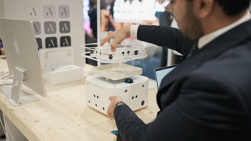
Mesa is a professional autonomous survey tool that generates precision floor plans.
A state-of-the art robotic tool, Mesa uses cutting edge innovation to deliver millimetre accurate site surveys. The robot coordinates with a drone sending commands to gather data in all dimensions.
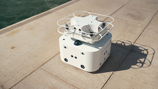
Swift is a professional autonomous survey tool that generates precision floor plans.
A state-of-the art robotic tool, Mesa uses cutting edge innovation to deliver millimetre accurate site surveys. The robot coordinates with a drone sending commands to gather data in all dimensions.
The Handheld laser sensor provides reliable precision for measurements of up to 80 meters
Interface seamlessly with the mobile Site Application to digitally draft floor plans and associate measurements directly with wall geometries. Its user-centric design ensures reliable, high-precision data capture, optimizing operational efficiency on-site. Ideal for professionals who value speed, accuracy, and digital efficiency on-site.
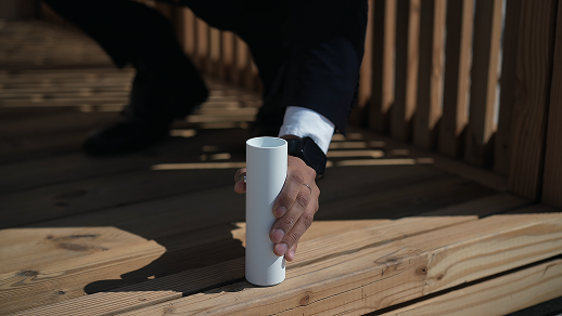
Precision measurement and spatial analysis for built environments.